Document the Disaster. Protect the Truth. Accelerate Recovery.
After a hurricane, tornado, wildfire, flood, earthquake, or severe storm, thousands of photos and videos are captured across a community — scattered across phones, social media, texts, and cloud drives.
CivilCamAI gives communities a single trusted location to organize, validate, and preserve that information using secure Event IDs and AI-powered verification. Whether created by emergency officials or local citizens, every contribution helps tell the complete story.
Why Natural Disaster Documentation Matters.
Instead of thousands of disconnected photos and videos, CivilCamAI organizes every image, video, voice recording, and location into one secure Event.
Every asset is analyzed for time, GPS, metadata, device fingerprint, AI-manipulation, and chain of custody — increasing confidence that evidence reflects what occurred.
Neighbors, families, businesses, volunteers, and first responders all contribute to one shared event timeline.
Validated documentation supports FEMA, insurance, emergency management, utilities, engineers, public works, and historical archives.
How CivilCamAI Works During Natural Disasters.
Hurricane · Flood · Wildfire · Earthquake · Tornado · Storm. No expectation exists that anyone stops during an emergency to use CivilCamAI. Safety always comes first.
Emergency Management, Police, Fire, County & City Officials, State Agencies, FEMA, and utility providers generate a shared Event ID for the affected area.
Officials establish a geographic collection area. Residents discover the Event ID through QR codes, community websites, news, social media, alerts, and public outreach. Participation is always voluntary.
Once conditions are safe, residents upload photos, video, drone footage, voice narratives, property damage, flood levels, road conditions, storm progression, utility damage, and neighborhood conditions.
CivilCamAI automatically organizes evidence into a chronological and geographic timeline — showing progression, damage patterns, infrastructure failures, and recovery priorities.
Request Evidence From the People Who Were Actually There.
Emergency agencies can publish a geo-fenced request for documentation. Instead of asking the public to email random photos or post on social media, they invite citizens to contribute directly into the official CivilCamAI Event.
- Centralized submissions
- Organized by location
- Organized by time
- Validated evidence
- AI-assisted review
- Reduced duplicates
- Simplified investigation
- Chain of custody
Every disaster. One protocol.
Confidence Is Just As Important As Collection.
- Unknown Source
- Unknown Date
- Unknown Location
- Edited Images
- Duplicate Posts
- Missing Metadata
- No Chain of Custody
- Verified Time
- Verified Location
- Metadata Analysis
- AI Authenticity Review
- Contributor Audit Trail
- Chain of Custody
- Event Association
- Evidence Confidence Indicators
Benefits for Emergency Agencies.
Faster situational awareness.
Verified evidence tied to one event.
Community documentation beyond first response.
Centralized evidence supporting disaster assessments.
Organized documentation streamlines property damage reviews and claims investigations.
Visual documentation of damaged infrastructure, downed lines, flooding, and service interruptions.
Track roadway damage, debris, bridge conditions, and infrastructure restoration priorities.
Benefits for Citizens.
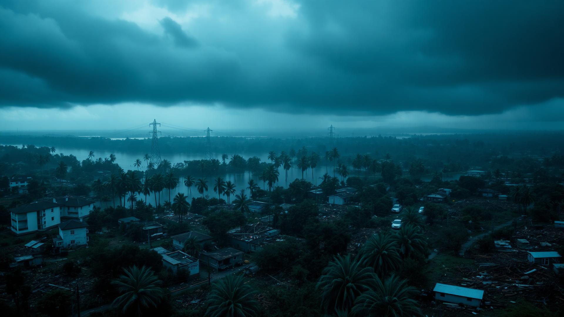
Hurricane Makes Landfall.
A simulated view of how a coastal county activates CivilCamAI in the first month following a major storm.
Recovery Begins With Reliable Information.
Natural disasters leave behind more than physical damage — they leave behind thousands of untold stories and critical pieces of information. CivilCamAI provides a secure, transparent platform where communities and agencies can come together to preserve what happened with integrity, helping inform response, recovery, and future resilience.